
Yorkshire Wolds
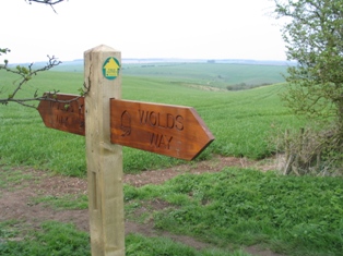
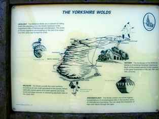
The Yorkshire Wolds are low hills in the East Riding of Yorkshire in
North-Eastern England. The name also applies to the district in which the hills
lie.
The hills are formed from chalk, and make an arc from the Humber estuary west of
Kingston upon Hull up to the North Sea coast between Bridlington and
Scarborough. Here they rise up to form cliffs, most notably at Flamborough,
Bempton Cliffs and Filey; Flamborough Headland is designated a Heritage Coast.
On the other side of the Humber, the chalk formations continue as the
Lincolnshire Wolds; in fact, one can view the Humber as cutting through a single
formation. The Humber Bridge was built at the point due to its geological
stability.
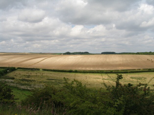
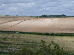
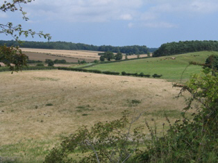
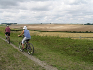
Most of the area takes the form of an elevated, gently rolling plateau, cut by
numerous deep, steep-sided, flat-bottomed valleys of glacial origin. The chalk
formation of the hills provides exceptionally good drainage, with the result
that most of these valleys are dry; indeed, surface water is quite scarce
throughout the Wolds. Typically the valleys are hard to see from above, creating
the visual impression that the landscape is much flatter than is actually the
case. The unusual topography results in an "upside-down" farming system -
livestock (mostly sheep and cows) graze the valleys, with the hills above used
for crops.
Market Weighton

.JPG)
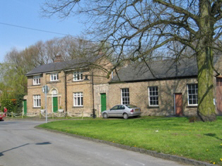
Market Weighton is a small town in the East Riding of Yorkshire, England. It
is one of the main market towns in the East Yorkshire Wolds and lies midway
between Hull and York, about 20 miles from either one.
Historically it is listed in the Doomsday Book as "Wicstun" and was granted
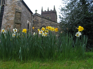
its charter to become a market town in 1251. Architecturally the town
boasts: a parish church, parts of which are Norman, the Londesborough Arms
an 18th century coaching inn, a Wesleyan chapel, a Methodist chapel and a
high street still recognisable from the 1800s. Other sights of interest
include the Post Office, the duck pond, and Station Farm.
Market Weighton has a bright and colourful history, largely based around
William Bradley the Yorkshire Giant. However, it's other notable residents
include Peg Fyfe, the local witch, who reputedly skinned a young local
resident alive in the 1660s and was later hanged for the crime but swallowed
a spoon to save herself only to be "finished off" by two passing knights.
Tourists are made very welcome in Market Weighton. There is also a Giant
Bradley town trail, with footprints the exact same as Bradley's, taking you
all around the town and showing you all the old and meaningful buildings
that many have forgotten or don't know about. It was organised by the Market
Weighton Civic Society.
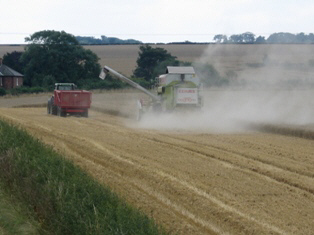
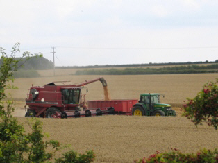
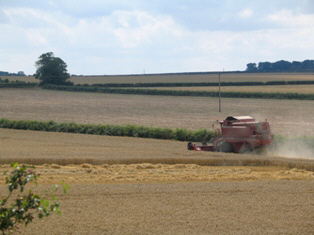
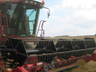
Industry in the town is largely based around agriculture.
.JPG)
.JPG)
.JPG)
.JPG)